A Simple Fix for a Long-Standing Problem
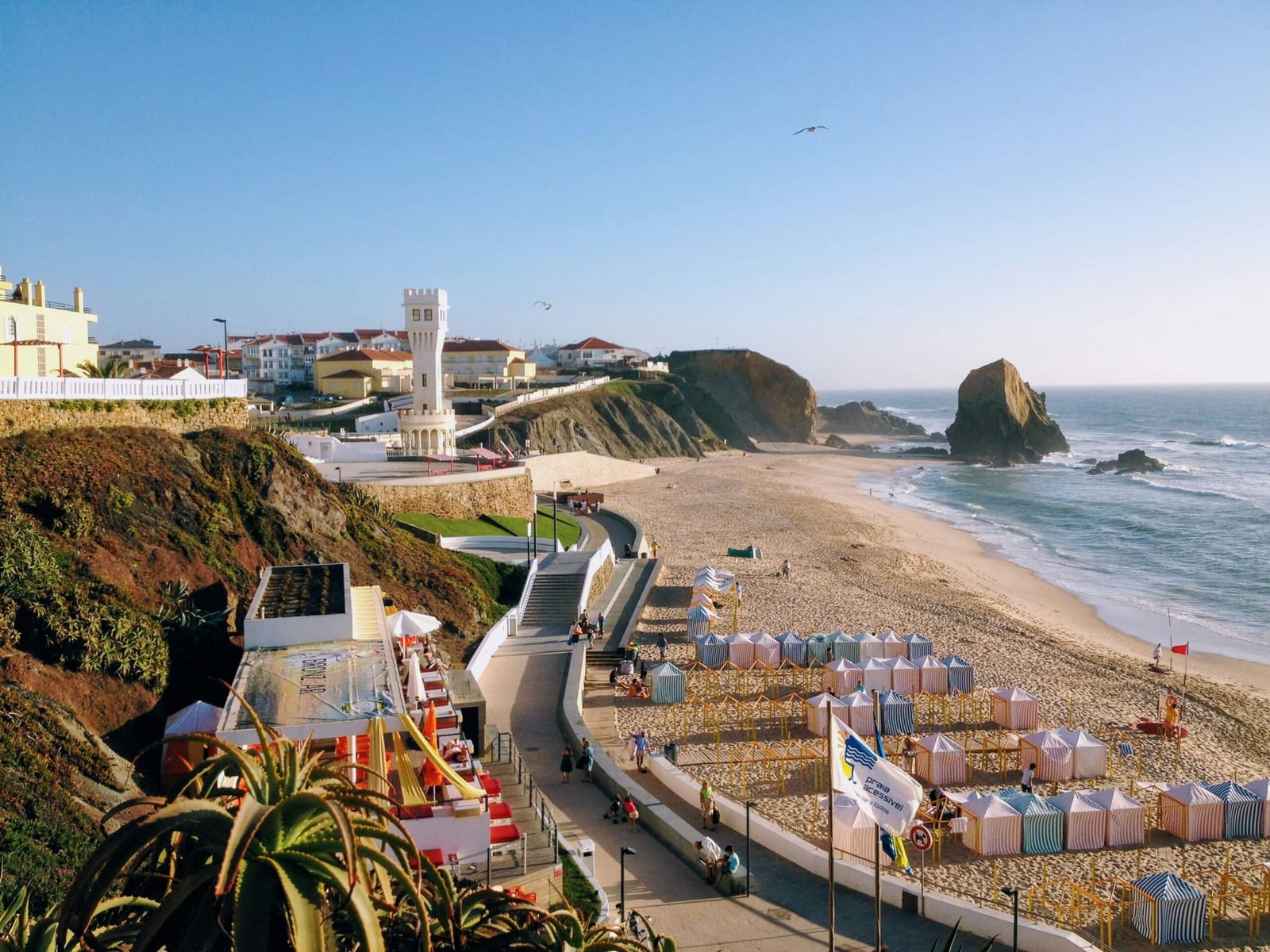
Walk onto a crowded Portuguese beach this summer and you might notice something new: a diagram at the entrance breaking down exactly which parts of the sand are yours to use. The maps will debut at beaches across the Algarve and Alentejo coast, dividing the shore into four clearly marked zones. The goal is straightforward: help people figure out where they can spread a towel or plant an umbrella without stepping into a rental area or blocking emergency access.
The initiative follows weeks of public debate over beach rules that many visitors misunderstood for years. A common assumption held that you could only set up your own umbrella in designated spots, and everywhere else required renting gear from a beach concession. That was never true. Portuguese beaches have always allowed the public to use unoccupied sand outside concession and safety zones, but the boundaries were rarely obvious.
The confusion boiled over earlier this year when the head of Portugal's Environment Agency called out concession operators who blocked beachgoers from placing umbrellas near rented facilities. Even after the agency issued guidance, uncertainty persisted. Environment and Energy Minister Maria da Graça Carvalho decided maps were the answer.
Four Zones, One Map
Each beach will display its own diagram showing four types of areas. Concession zones are where businesses rent loungers and umbrellas. Circulation corridors must stay clear so people can move across the sand. Safety areas are reserved for emergency access and other essential functions. Everything else falls into free zones, where visitors can bring their own equipment.
Because shorelines vary, every beach gets a custom map. What works at a wide, flat stretch in the Algarve won't match a narrow cove along the Alentejo coast. Municipalities will prepare the layouts, which must then be approved by the Environment Agency and the Maritime Authority before installation. Carvalho has asked local councils to move quickly, given that the bathing season is already underway.
Local authorities have welcomed the plan. They field most of the complaints when disputes erupt between tourists, concession holders, and other beachgoers. A visual guide at the entrance could head off many of those arguments before anyone plants a stake in the sand.
Context: Rising Visitor Numbers and Ongoing Management Efforts
Portugal recorded nearly 30 million international arrivals in 2025, according to the National Statistics Institute, a 3.3 percent increase over the previous year. Growth has begun to slow, but the country remains a top European destination, with the Algarve drawing large crowds each summer. Domestic travelers also flock to the coast, adding pressure to popular beaches.
The government has been working to spread tourism more evenly, promoting off-season travel and lesser-known regions. Clearer beach organization fits into that broader effort to improve the visitor experience while easing strain on hotspots. The Algarve offers long sandy stretches, dramatic cliffs, and protected areas like the Ria Formosa wetlands. The Alentejo coast, just north, attracts people seeking quieter shores and fewer crowds.
As more visitors arrive during peak months, questions about where you can sit have become more frequent. A map that lays out the rules in a glance could reduce friction without changing the underlying regulations.
No New Restrictions, Just Better Communication
Existing rules remain in place. Concession areas can occupy no more than 30 percent of usable beach space or 50 percent of the beachfront, whichever is smaller. Safety and circulation zones must stay clear. The rest is public space, free for anyone to use.
The maps don't create new limits or expand concession territory. They simply make visible what was already the law. For travelers planning a beach day, that means one less thing to worry about. Check the sign, pick a spot in the free zone, and settle in. It's a small change, but one that could make the start of a day by the water a lot less confusing.