Routes That Exist Only in Memory
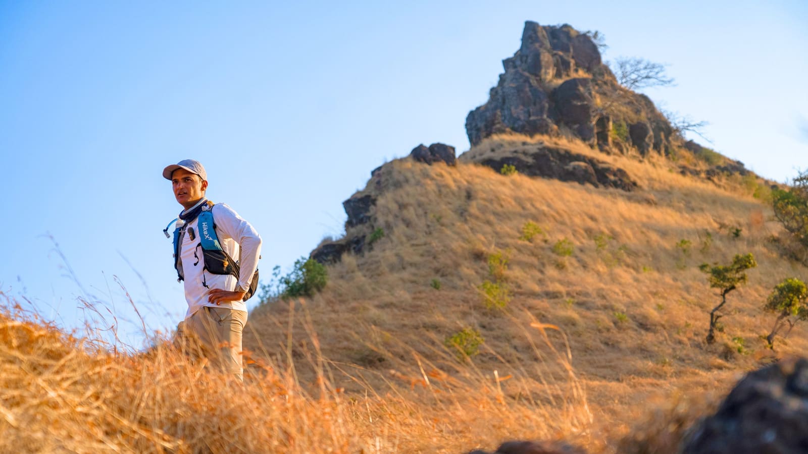
Across India, thousands of trails wind through mountains, forests, and valleys without appearing on any map. These paths have carried pilgrims, traders, and villagers for generations, passed down through oral tradition rather than written records. Manvendra Singh Shekhawat is racing to change that before the knowledge vanishes entirely.
The speed hiker and trail mapper has made it his work to document what he calls invisible trails: routes that exist in practice but not in any guidebook, app, or official cartography. His project addresses a gap that affects both preservation and access. Without documentation, these paths face two threats. Development and changing land use can erase them physically. And as older generations pass away, the knowledge of how to navigate them disappears too.
Shekhawat's approach combines old-fashioned fieldwork with modern technology. He hikes the routes himself, often at the pace that earned him recognition in speed hiking circles, recording GPS coordinates, elevation changes, water sources, and landmarks. The data goes into digital maps that anyone can use. It is a form of cultural documentation as much as outdoor recreation planning.
Why These Trails Stayed Hidden
The invisibility is not accidental. Many of these routes served local needs rather than outside visitors. A path connecting two villages, a shortcut herders used to move livestock between pastures, a pilgrim trail to a small temple. They were built and maintained by communities for specific purposes, not designed with tourists in mind.
India's official trail infrastructure has historically focused on a handful of well-known trekking regions: Ladakh, Himachal Pradesh, Uttarakhand. That leaves vast stretches of the country uncharted in any formal sense, even as people continue to walk the same routes their ancestors did. The disconnect means travelers often stick to the same crowded circuits while parallel networks go unused.
There is also the matter of terrain. India's geography includes everything from desert to rainforest, high-altitude passes to coastal paths. Mapping that diversity requires local knowledge that outsiders rarely possess. Shekhawat works with villagers, guides, and longtime residents who know the routes intimately. Their input ensures accuracy and context that GPS data alone cannot provide.
The Mechanics of Mapping
Shekhawat's process starts with research. He identifies potential trails through conversations, historical records, and tips from local communities. Then comes the fieldwork: hiking each route, sometimes multiple times, to verify conditions and gather detailed information. He notes not just the path itself but seasonal variations, potential hazards, and cultural significance.
The digital mapping happens afterward, translating raw data into formats that work for different users. Some maps target experienced trekkers looking for new challenges. Others serve communities hoping to develop sustainable tourism. A few focus on historical or cultural preservation, documenting routes tied to specific traditions or events.
The work is slow and requires resources most mappers do not have. Shekhawat funds much of it independently, relying on sponsorships and his own earnings. Each trail demands days or weeks of effort, and India has thousands of them. He has prioritized routes at highest risk of being lost, either because few people still know them or because development pressures threaten the land they cross.
Opening Access Without Overuse
Making these trails visible raises a familiar tension. Documentation increases access, which can lead to overuse and degradation. Shekhawat is aware of the risk. His maps include guidance on responsible use, and he works with local stakeholders to establish norms before routes become popular.
Some communities welcome the attention, seeing potential for economic benefit through trekking tourism. Others prefer to keep certain paths quiet, especially those with religious or cultural sensitivity. Shekhawat navigates these preferences carefully, sometimes choosing not to publish a trail if locals express concern. The goal is not to turn every route into a tourist attraction but to ensure the knowledge survives.
India's outdoor recreation sector is growing, with more domestic and international travelers seeking experiences beyond the standard itineraries. That demand creates both opportunity and pressure. Well-documented trails can distribute visitors more evenly, reducing strain on a few overused areas. But only if the new access comes with infrastructure and education to match.
What Gets Preserved
The mapping project is also an archive. Many of these trails carry stories: trade routes that connected regions before modern roads, pilgrimage paths that shaped religious practices, escape routes used during conflicts. Shekhawat records those narratives alongside the physical data, treating the trails as historical documents in their own right.
Some routes have fallen out of use entirely, surviving only in the memory of a handful of elders. Others remain active but unmarked, known only to those who live nearby. Both types risk disappearing as younger generations move to cities and traditional knowledge systems weaken. Digital preservation offers one way to counter that loss, even if it cannot replace the lived experience of walking a path your grandparents walked.
The work has implications beyond recreation. Trails often represent sustainable ways of moving through landscapes, developed over centuries to minimize impact and maximize efficiency. Understanding these routes can inform contemporary planning, offering alternatives to infrastructure that disrupts ecosystems or displaces communities.
Shekhawat continues to add trails to his growing archive, one hike at a time. The project has no clear endpoint, only the ongoing effort to document as much as possible before it is too late. For travelers, the maps open possibilities. For communities, they offer recognition. And for India's outdoor heritage, they provide a chance at survival.