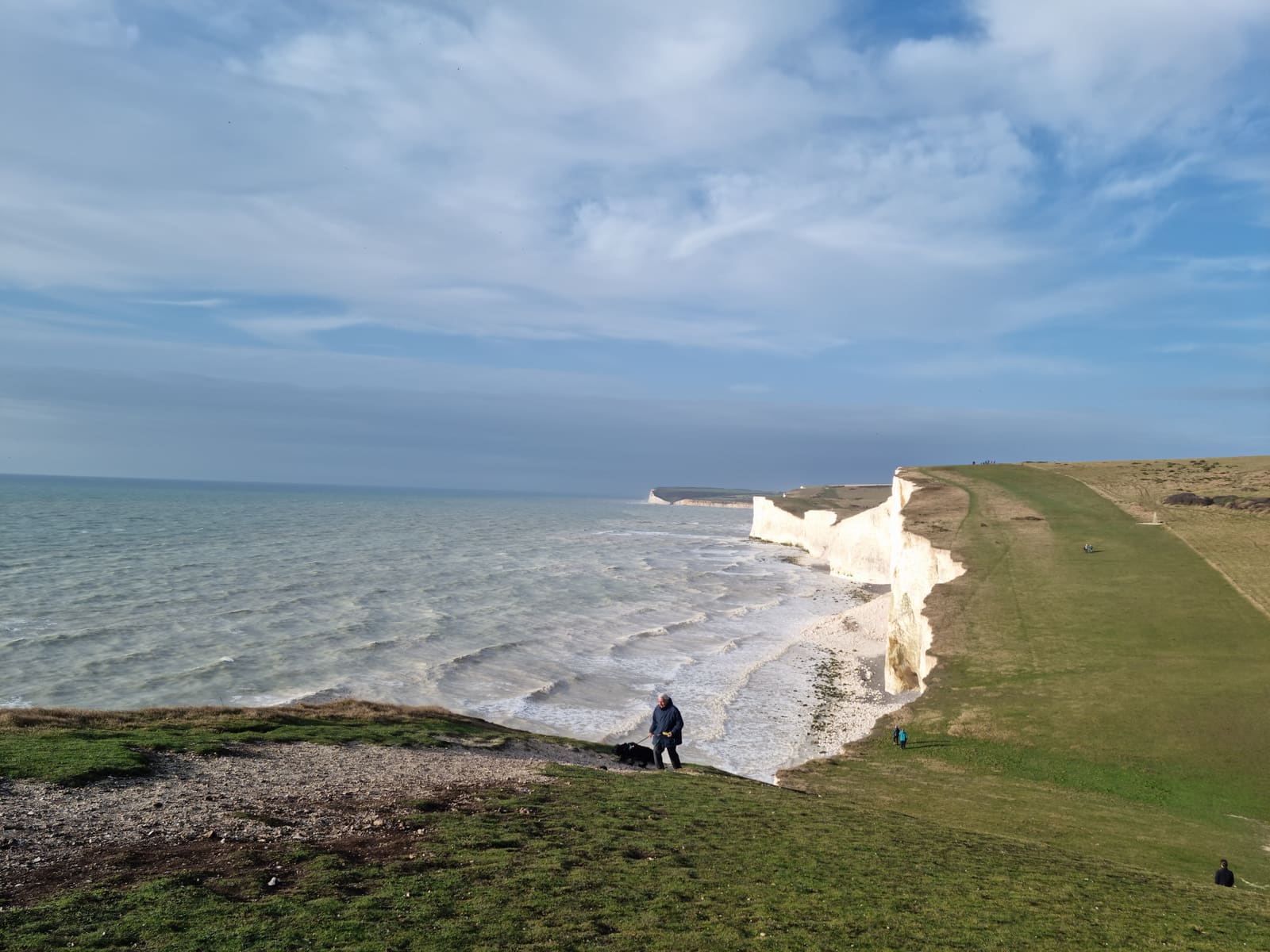
A Geological Partnership Across Open Water
Conservation organisations on either side of the English Channel are working to secure UNESCO recognition for a cross-border geopark that would mark a first in international heritage designation. The Cross Channel-Transmanche Geopark brings together 43 sites of geological significance from the Kent Downs National Landscape in southeast England and the Caps et Marais d'Opale Regional Nature Park along France's northern coastline.
The collaboration itself is not new. Specialists from both countries have been exchanging scientific findings, conservation strategies and tourism initiatives for more than two decades. What has changed this year is the formal push for UNESCO Global Geopark status, a designation that would make this the first such site to encompass two nations divided by a stretch of sea.
The sites selected for inclusion are known as Geosites, locations chosen for their scientifically important geological features. They span a diverse range of landscapes, from the rolling chalk downlands southeast of Boulogne to the protected grasslands and hills of the Cuesta du Boulonnais in France, and the distinctive terrain of the Kent Downs across the water.
Why the Channel Matters
The narrow waterway that separates the two countries is more than a political boundary. It plays a role in the natural systems that both sides share. Favourable wind patterns over the strait facilitate the movement of migratory species, including painted lady butterflies, which travel between North Africa and the Arctic in a multi-generational journey covering roughly 9,000 miles. The round trip takes at least six generations to complete, with individual butterflies covering segments of the route before passing the journey on to their offspring.
The same geographical corridor that aids these migrations also links the geological heritage on either shore. The chalk formations that define much of the landscape in both Kent and the Boulonnais region are part of a shared geological history, formed under similar conditions millions of years ago. This continuity makes the case for treating the area as a single unit, rather than two separate entities that happen to sit near one another.
What UNESCO Status Would Mean
UNESCO Global Geopark designation is reserved for areas that demonstrate geological heritage of international significance. The label brings recognition, but it also comes with expectations. Geoparks are expected to promote sustainable tourism, support local economies and engage in education and conservation work. They must show that they are actively managing their sites and involving local communities in decision-making.
For the Cross Channel-Transmanche Geopark, the designation would formalise a relationship that has been building for years. It would also set a precedent. No existing UNESCO Global Geopark spans two countries separated by open water. Most cross-border geoparks share a land boundary, which simplifies coordination and management. The English Channel introduces logistical complexity, from differing regulatory frameworks to the practicalities of joint programming and visitor access.
The application process itself requires demonstrating that the sites meet UNESCO's criteria for geological significance, that there is a coherent management plan in place and that the partnership has the capacity to sustain long-term collaboration. Given the two-decade track record of cooperation between French and English experts, the organisational foundation appears solid.
The Role of Local Conservation Groups
On the French side, organisations such as Eden 62 have been instrumental in managing protected areas like Mont Hulin and Mont Pelé, a 62-hectare site within the Cuesta du Boulonnais. These areas are not only geologically significant but also support a range of species that depend on the specific conditions created by the chalk downlands. The work involves habitat management, monitoring and public engagement, all of which contribute to the broader goals of the geopark.
In Kent, the National Landscape designation already provides a framework for conservation and sustainable land use. The addition of UNESCO Geopark status would layer another dimension onto that work, emphasising the geological narrative and the cross-border connection. It would also open up opportunities for joint research projects, shared funding streams and coordinated tourism initiatives that highlight the geological and natural heritage of both regions.
Tourism and Education
One of the stated aims of the geopark is to promote tourism, but not in the conventional sense of driving visitor numbers for their own sake. The focus is on encouraging people to engage with the landscape in a way that deepens their understanding of its formation and significance. This means interpretive trails, educational programmes and partnerships with schools and universities on both sides of the Channel.
The painted lady butterflies that migrate through the area offer a tangible example of the kind of story that can be told. Their journey connects continents, and the Channel crossing is a small but critical segment of that route. By highlighting such connections, the geopark can make abstract geological concepts more accessible and relevant to visitors who may not have a background in earth sciences.
What Comes Next
The application for UNESCO status is now under consideration. If approved, the Cross Channel-Transmanche Geopark will join a global network of more than 170 geoparks in over 40 countries. It will also serve as a test case for future cross-border collaborations that involve maritime boundaries, potentially opening the door for similar initiatives elsewhere.
For now, the partnership continues its work on the ground, managing sites, conducting research and building the relationships that will be necessary to sustain the geopark over the long term. The outcome of the UNESCO application will determine whether that work receives international recognition, but the collaboration itself is already shaping how both countries approach the conservation and interpretation of their shared geological heritage.